|
1
|
|
|
2
|
|
|
3
|
- Massachusetts: Gathering Background Information
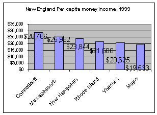
- Economic Considerations
- Ryan
- Political Overview
- Trevor
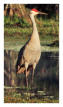
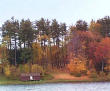
- Ecological Information
- Dan
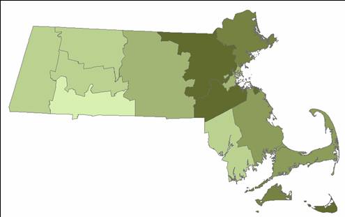
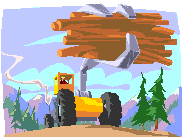
- Massachusetts Timber Harvest Chris & Anna
|
|
4
|
|
|
5
|
|
|
6
|
|
|
7
|
- Since 1950, with the exception of the gubernatorial position, the state
government has been overwhelmingly Democratic.
- Since 1950, the vast majority of Massachusetts Senators and House
members have been Democratic.
|
|
8
|
- There is a diverse hierarchy of state agencies that deal with
environmental issues and policy in Massachusetts.
- The head office for the majority of state environmental agencies is the
Executive Office of Environmental Affairs (EOEA).
- The majority of state environmental agencies are branches of the EOEA.
|
|
9
|
- The Massachusetts Environmental Collaborative brings together over fifty
non-governmental environmental organizations including local land
trusts, coastal protection groups, environmental justice organizations,
watershed associations, and other resource conservation and
environmental health groups.
- The Earth Share of New England is a coalition of over 80 organizations
working to protect and preserve natural resources and public health in
New England, across the country, and around the world.
|
|
10
|
|
|
11
|
|
|
12
|
|
|
13
|
|
|
14
|
|
|
15
|
|
|
16
|
|
|
17
|
|
|
18
|
|
|
19
|
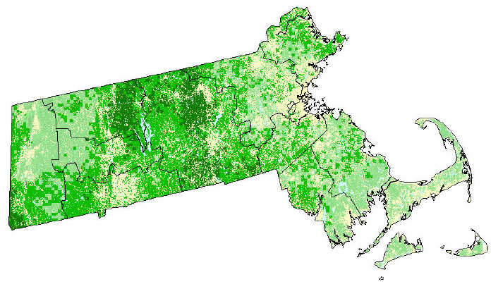
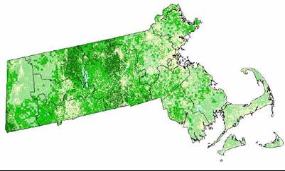
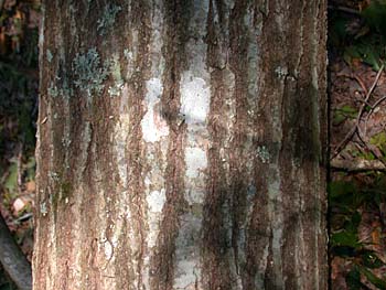
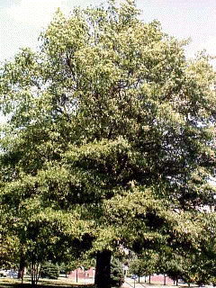
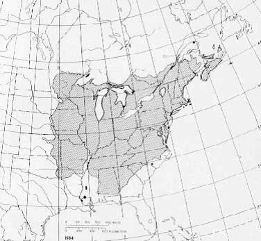
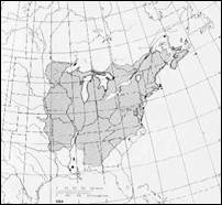
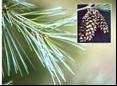
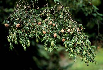
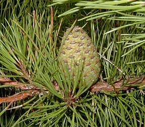
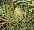
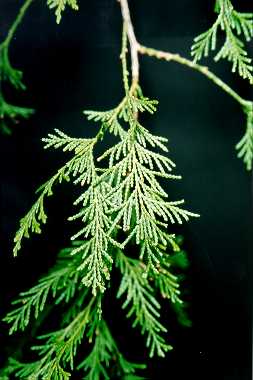
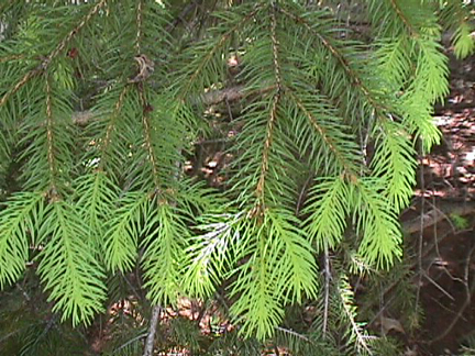
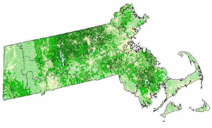
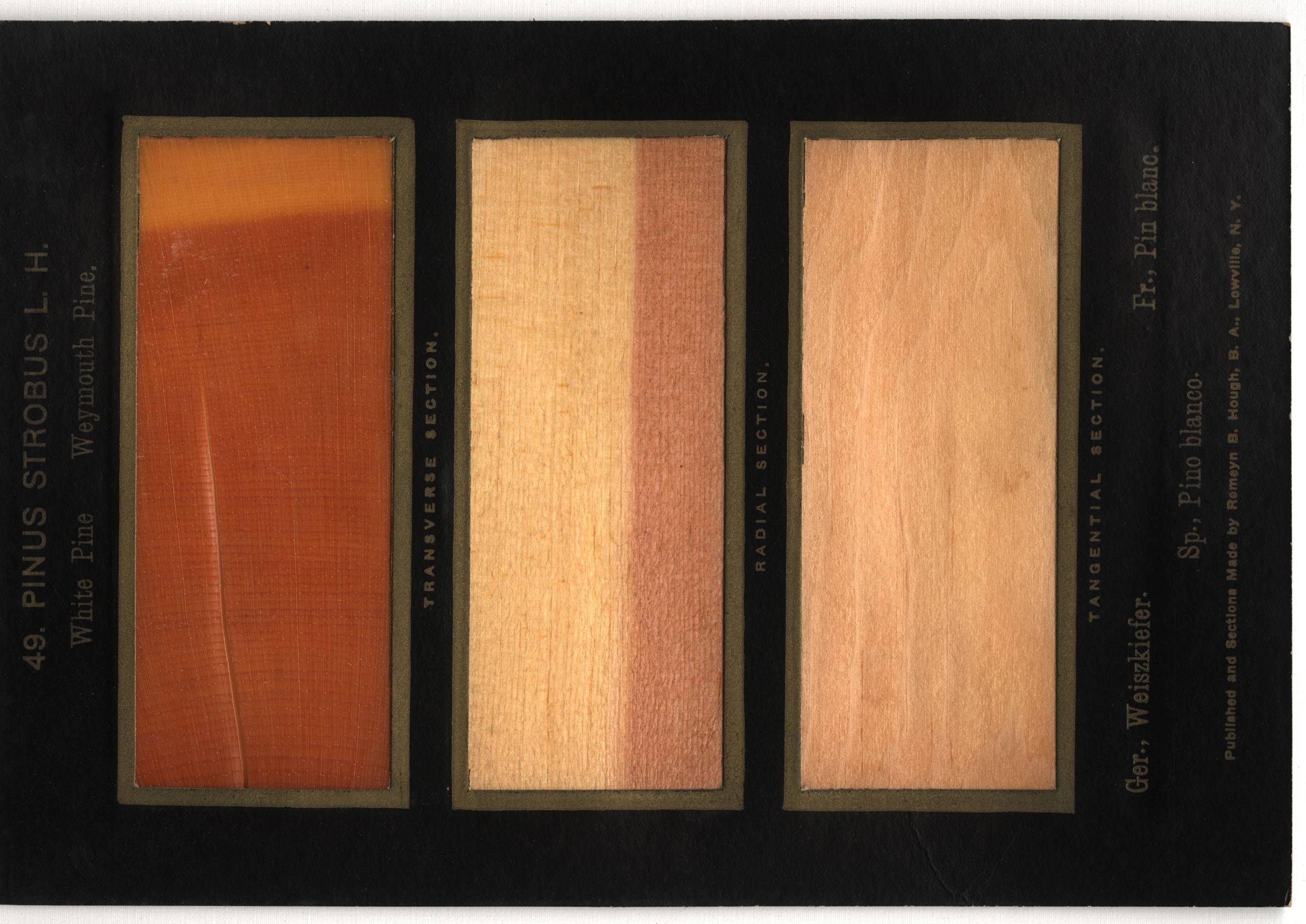
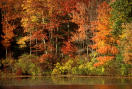
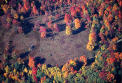
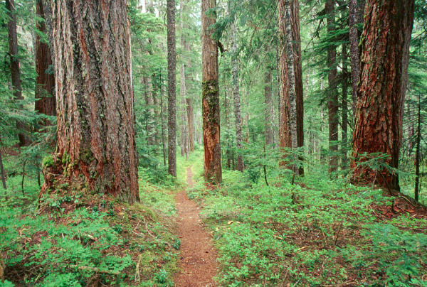
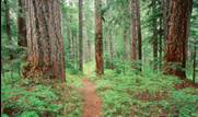
- At one point (~1850) Massachusetts was less than 30% Forest.
- Currently, Massachusetts is, depending on your definition, 70-90%
forested.
- Forest regeneration currently exceeds harvest.
- Foster 2002
|
|
20
|
|
|
21
|
- Wilderness restoration
- “untouched lands”
- Restoring/conserving cultural landscape
- “Mow the fields, maintain the open spaces”
- Increased Management
- “contiguous tracts, controlled harvest”
|
|
22
|
|
|
23
|
|
|
24
|
|
|
25
|
|
|
26
|
|
|
27
|
- Data Investigation
- -Trevor
- Data Acquisition
- -Ryan
- Data Preparation I
- -Dan
- Data Preparation II
- -Chris
|
|
28
|
- The Data Investigation involved searching for
- -Spectral data
- -Ancillary data
- -Ground Reference data
- The range of our study includes the entire state of Massachusetts
- The study period covers 32 years; 1972-2004
|
|
29
|
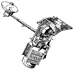
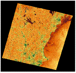
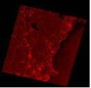
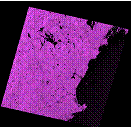
- A series of spreadsheets was created containing available MSS, TM, and
ETM+ Landsat satellite images for Massachusetts between 1972 and 2004.
- The best available Landsat images for each year/sensor were put into the
spreadsheets.
- The acceptable image acquisition window was from early June to late
August.
- 0% cloud cover in an image was optimal, but the least cloud covered
image available for each year, path/row and sensor was input in the
spread sheets.
|
|
30
|
|
|
31
|
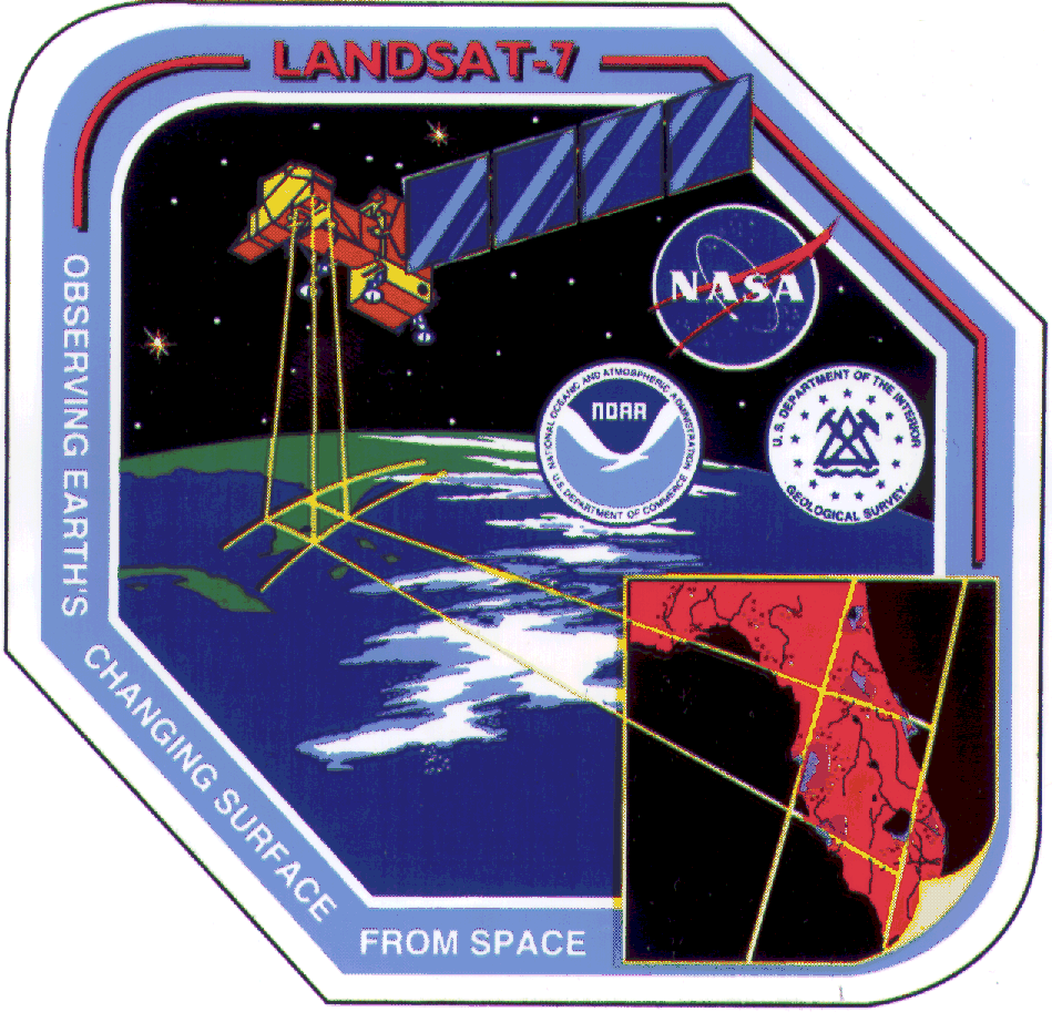
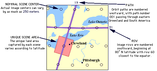
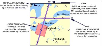
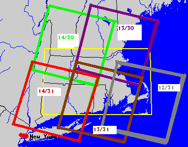
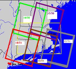
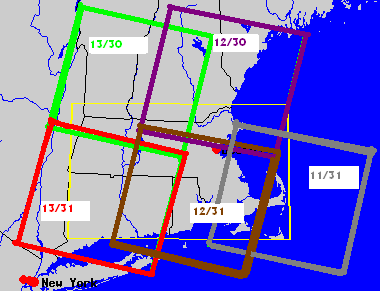
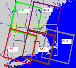
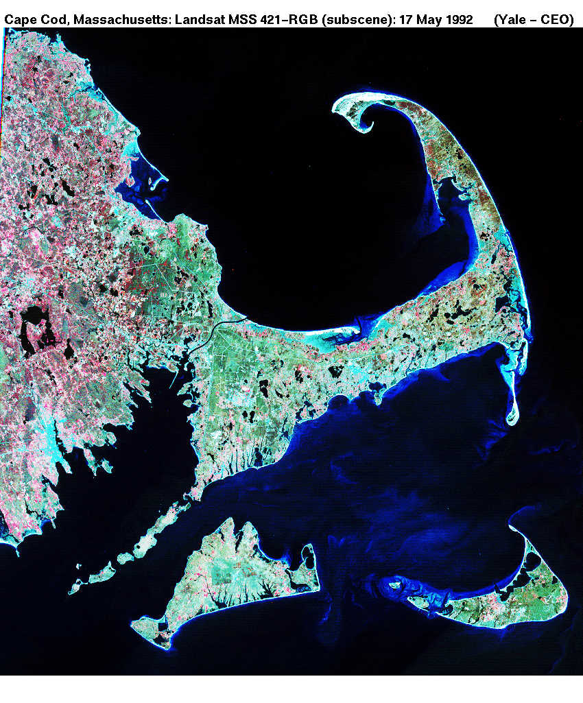
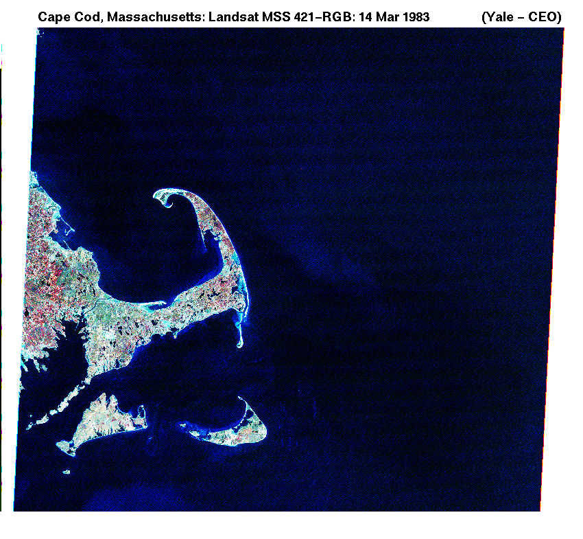
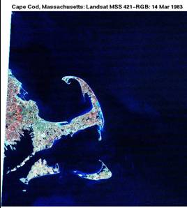
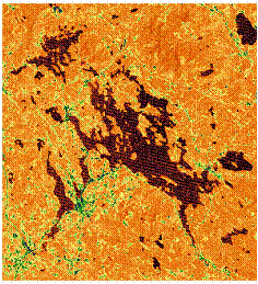
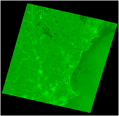
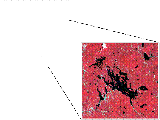
- The state of Massachusetts is covered by five Landsat satellite scenes.
- In 1983 there was a shift in path/row coverage.
- Prior to 1983 the five scenes were path/row 12/31, 13/30, 13/31, 14/30
and 14/31.
|
|
32
|
- From 1983 until the present, the scenes 11/31, 12/30, 12/31, 13/30 and
13/31 have covered the state of Massachusetts.
- The sources used for determining available Landsat imagery: USGS EROS
data center, University of New Hampshire, University of Maryland and
Clark University.
|
|
33
|
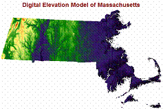
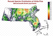
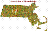
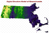
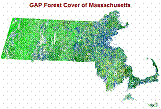
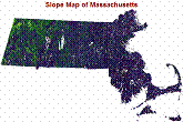
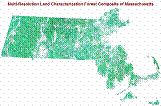
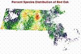
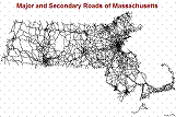
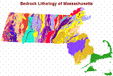
- The ancillary information includes:
- -Digital elevation models,
slope, aspect
- -Species distribution maps, land
cover maps
- -Forest cover maps
- -Land ownership, roads,
political boundaries
- -Protected and recreational open
space
|
|
34
|
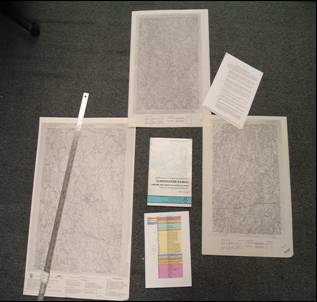
- The ground reference data includes:
- -Aerial photography/orthophoto quads
- -Archival airport visibility
information
- -Field data collection
- Field data collection has yet to occur.
|
|
35
|
- We are gathering:
- -Spectral data (acquiring
Landsat imagery)
- -Ancillary data (downloading to
HERO archives)
- -Ground Reference Data
(investigation still in progress)
|
|
36
|
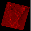
- We have begun acquiring 1973 MSS Landsat imagery.
- For the summer months of 1973, we have acquired four of the five scenes
that cover Massachusetts.
|
|
37
|
|
|
38
|
|
|
39
|
- Making it fit – it’s not as easy as it looks
|
|
40
|
|
|
41
|
|
|
42
|
|
|
43
|
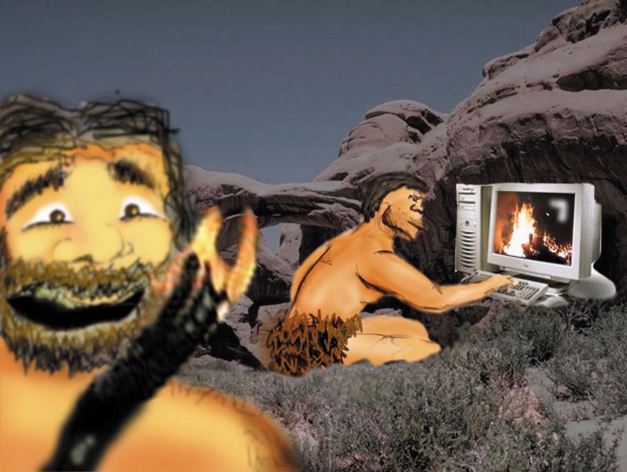
- “What am I supposed to do with these?”
|
|
44
|
|
|
45
|
|
|
46
|
|
|
47
|
|
|
48
|
|
|
49
|
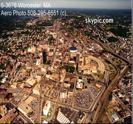
- Editing of digitized 1951 McConnell map of greater Worcester area
- -ArcView/Map editing
- -Cartalinx editing
|
|
50
|
|
|
51
|
- Ground reference data acquisition
- Continued spectral data acquisition
- Continued spectral data processing
- Preparing data sets for large area monitoring
- -John Rogan
|
 Notes
Notes