33
Ancillary Data
Investigation
•The ancillary information includes:
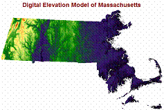
-Digital elevation models, slope,
aspect
• -Species distribution
maps, land cover maps
-Forest cover maps
-Land ownership, roads, political
boundaries
• -Protected and
recreational open space
-Soil type,
geology,
bedrock
lithology
-Precipitation,
temperature,
rivers,
streams, ponds,
lakes